What Happened When Greenland’s Ice Sheet Gushed 90 Million Cubic Meters of Water?

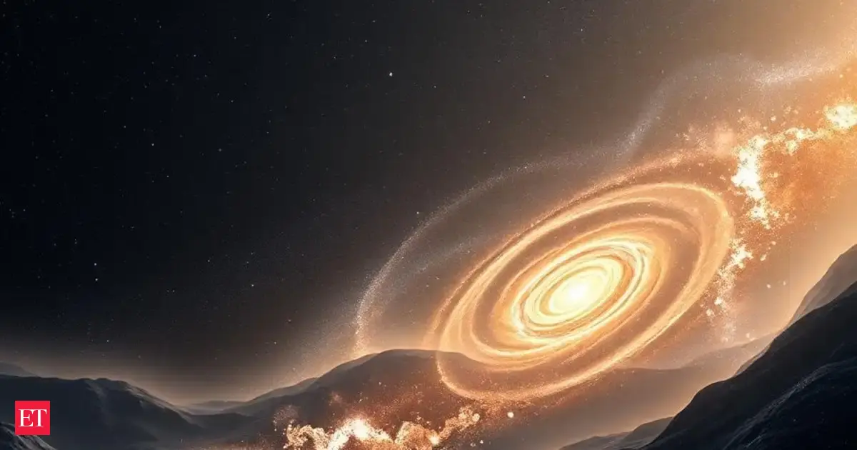
Imagine a hidden lake beneath the massive Greenland Ice Sheet suddenly unleashing a torrent of water so powerful, it creates a crater nearly a kilometer deep! In 2014, that unimaginable event took place, draining a staggering 90 million cubic meters of water in just ten days—a volume comparable to nine hours of water rushing over Niagara Falls at peak flow.
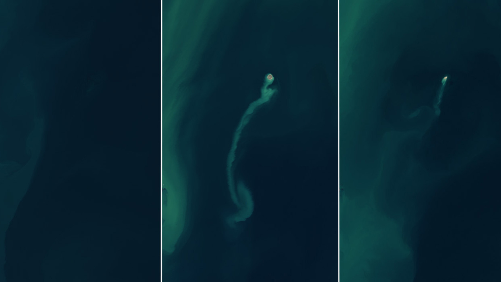
This extraordinary outburst wasn’t just a spectacle; it marked one of the largest subglacial floods ever recorded in Greenland. But hold on, because the real shocker lies in what researchers discovered downstream. The aftermath revealed a chaotic landscape of fractured and distorted ice spanning 385,000 square meters—about the size of 54 football fields. Towering ice blocks, some reaching 25 meters high, and a six-square-kilometer area of scoured ice emerged from this icy chaos, shocking scientists who had never seen anything like it before.
In a recent study published in the prestigious journal Nature Geoscience, researchers from Lancaster University have peeled back the layers on this incredible flood and its implications for the future of the ice sheet. Utilizing data from advanced Earth-observing satellites, they uncovered how the subglacial flood beneath the Greenland Ice Sheet fractured the ice, allowing meltwater to explode through the surface in a breathtaking display of raw nature.
According to the study, the mysterious network of active subglacial lakes beneath Greenland represents a poorly understood aspect of its hydrological system. The 2014 lake drainage event provided a rare opportunity to delve deeper into this enigma. Using state-of-the-art surface models and satellite data from NASA and the European Space Agency, researchers meticulously analyzed the flood event, leading to some surprising revelations.
Dr. Jade Bowling, the study’s lead author, recalls, “When we first saw this, because it was so unexpected, we thought there was an issue with our data. However, as we went deeper into our analysis, it became clear that what we were observing was the aftermath of a huge flood of water escaping from underneath the ice.” Their findings flipped conventional thinking on its head, revealing that meltwater doesn’t only flow from the surface to the bed and out to the ocean. Instead, this event illustrated that water can also be forced upwards through the ice under immense pressure, tearing through it in the process.
Remarkably, just one kilometer downstream from where the subglacial lake collapsed, researchers observed a newly formed zone of fractures. This area was characterized by crevasses and uprooted blocks of ice, reaching a combined height of 40 meters. Furthermore, a six-square-kilometer region of the ice surface had been completely scoured clean, a testament to the sheer volume of water that gushed upwards.
Surprisingly, this flood occurred in an area previously believed to be frozen solid at the ice bed, raising questions about the accuracy of existing models predicting ice behavior. The team theorizes that the pressure-driven fracturing along the ice bed created pathways for the water to flow, fundamentally altering the landscape beneath one of the planet's most significant ice sheets.
Dr. Amber Leeson, another expert on ice sheet hydrology, emphasizes the importance of this research. “What we have found in this study surprised us in many ways. It has taught us new and unexpected things about the way that ice sheets can respond to extreme inputs of surface meltwater.” As global temperatures continue to rise, this research raises vital questions about how such meltwater events could impact the Greenland Ice Sheet's future, highlighting a critical need for further study in our warming world.
The implications of this study are far-reaching, urging us to rethink how we model the behavior of Greenland’s ice sheets under climate change conditions. As more events like this could occur, understanding their effects on our planet's ice is more crucial than ever.